

Kansas severe weather statistics for 2024
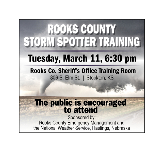
Storm Spotter presentation and training on Tuesday, March 11th
With Kansas Severe Weather Awareness Week this week, March 3rd through March 7th, the Stockton Sentinel wanted to provide its readers with an overview of the statistics and a summary of severe weather in Kansas for 2024.
The 2024 tornado season was more active in Kansas than in recent years, with 76 tornadoes reported in 39 different counties. For comparison, in 2023, there were 44 tornadoes; in 2022, there were 56 tornadoes; and in 2021, there were seven tornadoes. The strongest tornado in 2024 occurred in Westmoreland (Pottawatomie County) on April 30th. It was rated an EF-3 and, unfortunately, ended up killing one person and injuring four others. This tornado was on the ground for over two miles, producing intense damage for two hours, a mobile home and trees.
The tornado with the longest track occurred in Cherokee County on May 6th, traversing over 20 miles. It was rated an EF-0, with some tree damage observed after the tornado.
The most active tornado day occurred on April 28th, when 17 tornadoes were observed. April was the most active month, with a total of 40 tornadoes across the state.
The most tornadoes in a county were in Wilson County, with seven reported. The most tornadoes in one day were on April 27th, with 17 reported. There was a stretch of 20 days where at least one or more tornadoes were reported.
According to the Kansas Tornado Statistics by county from 1950 to 2024, Rooks County has had 53 tornadoes during the period with no fatalities and six injuries.
The first tornado of the year was on February 9th in Finney County, and the last was on August 14th in Pottawatomie County, making the 2024 tornado season 187 days.
(A storm spotter presentation and training for Rooks County will be held on Tuesday, March 11th, in Stockton at the Rooks County Sheriff’s Office (EOC) at 803 South Elm starting at 6:30 p.m. All presentations are free and open to the public. An ad appears elsewhere in this issue on Page 9A.)
